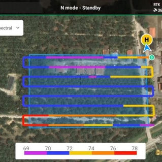

Drone Orthomosaic Mapping
Drone photogrammetry makes it possible to accurately map land and field from the air. We then use the calculated data to accurately measure, acreage, elevation, property, boundaries, and crop growth. Using multi spectrum imagery we can also process highly detailed plant health reports. These can be used to identify the conditions and health of crops and soil more accurately.
We use drones to inspect possible dense farming regions over a wide area of land and high structures like windfarms or bridges. With the use of camera drone technology, these areas can be inspected and photographed with high resolution, photography and thermal imagery from the air while monitoring the calculated data safe on the ground.
Our split screen capabilities and enhanced zoom technology creates the final details for inspections, allowing our clients to be at ease throughout processing.
1. Accurate detailed all stages of high resolution 2D and 3D orthomosaic images.
2. Measurements of height, length, acreage, and volume.
3. Elevation layers.
4. Structural, 3-D models.
5. Annotated reports on progress and site issues.
6. Distance and slope measurements.
7. Plant health monitoring reports


